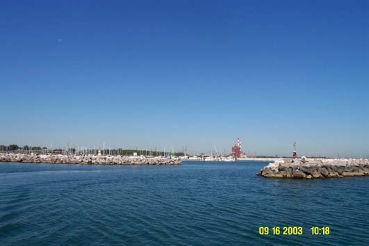
September 16
We had to use the Calumet-Sag Channel, called the Cal-Sag, instead
of the Chicago River through downtown because of a low fixed bridge
in town. As it was, we barely made it under the lowest fixed bridge
on this waterway, hitting our antennas on the bottom of the bridge
as we passed under. This 19.1 foot fixed bridge is the lowest on the
whole loop route; any taller than us and the Loop trip would be impossible.
Of course, we could lower our antennas, but that would require major
work, since they’re attached to our radar arch and we must take
down some of the canvas on the bridge in order to have access to the
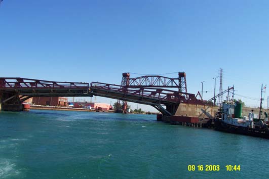
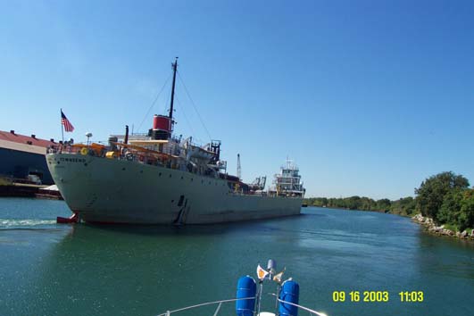
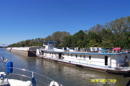
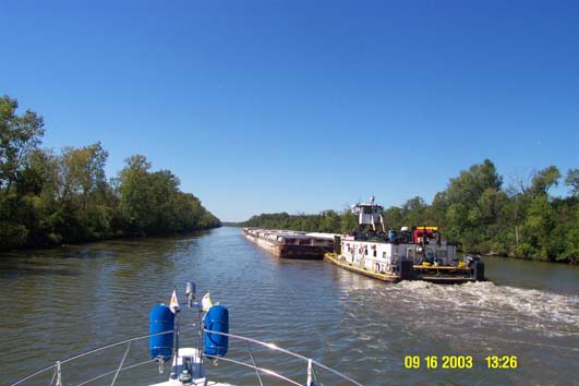
top of the arch. This 14 mile channel is full of commercial vessels
and myriad barges. There were also many bridges that had to open for
us, but most didn’t take long; in some cases they started to
open when they saw us coming instead of waiting for us to hail them.
Like so many other waterways, the bridge tenders here must call ahead
to the next bridge. When we reached the confluence with the Illinois
River we were beginning the end of our journey, because this river
would take us to the end of our loop.